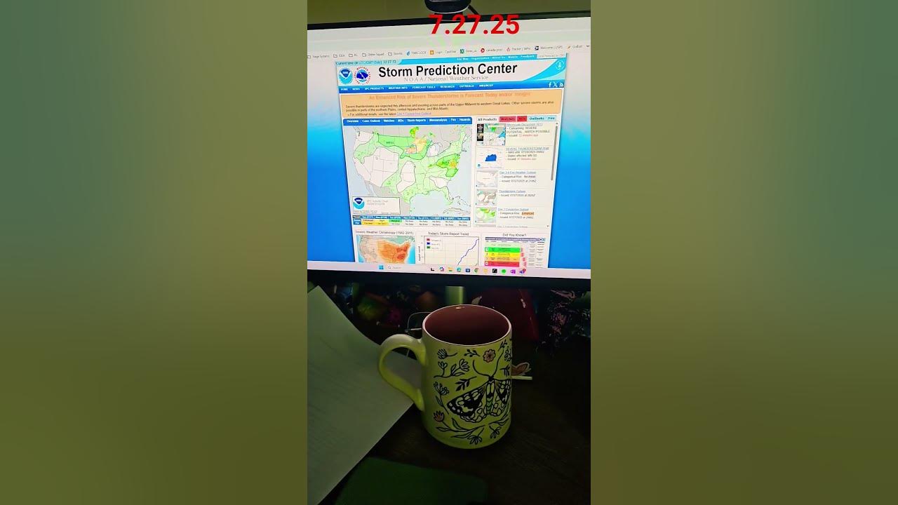
Severe weather outbreak. A major derecho storm is forecast to impact parts of South Dakota and Minnesota on Monday, July 28, 2025, posing a significant threat to the region. The storm is expected to bring damaging winds, heavy rainfall, and the potential for tornadoes, necessitating preparedness and caution.
Understanding the Derecho Threat
A derecho is a widespread, long-lived wind storm associated with a band of rapidly moving showers or thunderstorms. Unlike tornadoes, which have a more localized impact, derechos produce damage over a much larger area, typically in one direction. The effects can be devastating, with winds capable of causing widespread structural damage and power outages.
FOX Weather has reported on the potential for this upcoming derecho, highlighting the risk of wind gusts exceeding 75 mph. These intense winds, combined with the possibility of tornadoes and large hail, create a dangerous situation for residents in the affected areas. It’s crucial to understand the characteristics of a derecho to appreciate the severity of this weather event.
Forecast Details and Warnings
The National Weather Service in Duluth has issued warnings about the potential for a derecho, indicating that winds could reach up to 105 mph across North Dakota and Minnesota. This level of wind speed can cause significant damage to trees, power lines, and buildings, making it essential to take precautions.
The Storm Prediction Center has further emphasized the severity of the situation by upgrading the severe risk for eastern North Dakota and northwestern Minnesota to a “moderate” risk (level 4 of 5). This elevated risk level underscores the increased likelihood of widespread severe weather and the need for heightened awareness and preparedness.
Specific Impacts Expected
Across South Dakota and southern Minnesota, the storm system is expected to bring significant damaging winds, potentially exceeding 80 mph. In addition to the high winds, residents can anticipate blinding rainfall, frequent lightning, and hail. These conditions can create hazardous driving conditions and increase the risk of flash flooding.
The tornado threat is also a significant concern, particularly in central and eastern South Dakota and southern Minnesota. Tornadoes can develop rapidly and cause localized but intense damage, making it crucial to stay informed about weather updates and heed any warnings issued by local authorities.
Historical Context: The May 12, 2022 Derecho
Past derecho events in the region provide valuable insights into the potential impacts of this type of storm. A notable example is the derecho that struck eastern South Dakota and west-central Minnesota on May 12, 2022. This event produced widespread winds ranging from 60 to over 100 mph and spawned 34 confirmed tornadoes.
The May 2022 derecho caused widespread damage, including uprooted trees, property damage, and extensive power outages. Tragically, there were also fatalities associated with the storm. The event was later classified as a billion-dollar disaster, highlighting the significant economic impact of such severe weather events.
Lessons Learned from Past Events
The May 2022 derecho serves as a stark reminder of the destructive potential of these storms. The widespread damage and disruption caused by the event underscore the importance of preparedness and taking appropriate safety measures. Learning from past events can help residents and communities better prepare for future derechos and mitigate their impact.
Preparing for the Impending Derecho
Given the forecast and potential severity of the impending derecho, it is crucial for residents in South Dakota and Minnesota to take proactive steps to prepare. This includes staying informed about weather updates, developing an emergency plan, and securing property to minimize potential damage.
Safety Measures to Consider
Here are some specific safety measures to consider:
- Stay Informed: Monitor local news, weather websites, and social media for the latest updates and warnings.
- Develop an Emergency Plan: Create a plan that includes a safe place to shelter, emergency supplies, and communication strategies.
- Secure Your Property: Bring in loose outdoor items, such as patio furniture and garbage cans, that could become projectiles in high winds.
- Trim Trees: Prune trees and shrubs to remove any weak or dead branches that could fall and cause damage.
- Prepare an Emergency Kit: Assemble a kit that includes food, water, medications, a flashlight, a battery-powered radio, and other essential items.
- Charge Electronic Devices: Ensure that cell phones, laptops, and other electronic devices are fully charged in case of power outages.
- Know Your Evacuation Routes: Familiarize yourself with evacuation routes in your area in case you need to leave your home.
Conclusion
The approaching derecho poses a significant threat to South Dakota and Minnesota. By understanding the nature of these storms, staying informed about weather updates, and taking appropriate safety measures, residents can minimize the potential impact and protect themselves and their property. The severe weather outbreak demands preparedness and vigilance, with the potential for widespread damage and disruption.


